"These three GSAs are not going to protect domestic wells and groundwater-dependent ecosystems."
That was AquAlliance water analyst Jim Brobeck, describing the groundwater agencies covering Butte County, at a Vina Groundwater Sustainability Agency meeting that drew a packed house and 546 protest ballots. The fight wasn't really about a fee. It was about a number buried in a state-mandated plan, one that decides when a well is protected and when it's on its own. That number is being reconsidered again this year, and if you're looking at rural acreage in Durham, it matters more than square footage, more than the well's listed depth, more than almost anything else on the disclosure packet.
The Number Nobody Puts On A Listing
Every groundwater basin in California operating under the Sustainable Groundwater Management Act has to set two lines for its aquifer. One is a goal, called the Measurable Objective. The other is a legal floor, called the Minimum Threshold, the depth the water table is allowed to reach before corrective action becomes mandatory. Above that floor, everything is voluntary. Below it, the agency is required to act.
At the representative monitoring well the Vina Groundwater Sustainability Agency uses to track conditions near Chico and Durham, that goal sits around 57 feet below ground surface. The legal floor, the point where the state's own rules require nothing until it's crossed, sits around 123 feet down. That's not a typo and it's not a rounding issue. It's a 63 foot gap between "we'd like the water to stay here" and "we're legally obligated to do something." Everything in between is a zone where a well can be sputtering and no agency is required to lift a finger.
One Aquifer, Four Different Rules
Here's what makes this a Durham story specifically, and not just a groundwater story. The Vina Subbasin doesn't sit in isolation. It borders the Butte Subbasin and the Corning Subbasin, and it shares a boundary with the Wyandotte Creek Subbasin. Water underneath these lines moves as one connected system. The rules governing when protection kicks in do not.
| Subbasin | How its Minimum Threshold compares to Vina's |
|---|---|
| Vina | Baseline, currently under review |
| Corning | Vina's floor sits 60+ feet lower |
| Butte | Vina's floor sits 25 to 59 feet lower |
| Wyandotte Creek | Voted in September 2025 to raise its own floor to protect shallow wells |
That comparison comes from a joint technical fact sheet the North Sacramento River Corridor's groundwater agencies produced together in January 2026, and it's worth sitting with. A well on one side of an invisible administrative boundary can lose water for tens of feet before its governing agency has to act. A well a few miles away, on the other side of that same boundary, gets protection much sooner. The aquifer doesn't know the difference. The rulebook does.
Who's Actually Redrawing This Line
The Vina GSA was formed in 2019 through a joint powers agreement between Butte County, the City of Chico, and the Durham Irrigation District. Its board has five seats. Three come from the member agencies. The other two are an agricultural groundwater user and a domestic well user with no agricultural ties, both appointed by the Butte County Board of Supervisors specifically so residential well owners have a seat at the table.
That board's groundwater plan was submitted to the state in January 2022 and approved in July 2023, with a sustainability target set for 2042. The first mandatory five-year checkup on that plan, called a Periodic Evaluation, is due to the Department of Water Resources in January 2027. That review is happening now, in 2026, which means the Minimum Threshold discussed above isn't a settled historical fact. It's a live decision.
This board has already shown it will move numbers when the political pressure is loud enough. In 2023, it approved a groundwater fee of $1.54 per acre for the 2023-24 tax year, a compromise after ranchers objected that the original proposal of $3.09 unfairly hit large landowners who weren't irrigating. Eagle Creek Ranch representative Henry Lomeli told the board a $3 fee would cost his ranch $23,000 a year. The board pulled back to $1.54, but reserved the right to raise it again without another public protest vote. Board chair Evan Tuchinsky and county water and resource conservation assistant director Christina Buck have both been on record defending the plan's design, while AquAlliance has since sued the Vina, Butte, and Colusa agencies over how protective those plans actually are. The point isn't which side is right. It's that this threshold is negotiable, contested, and being decided by people you can actually name.
What This Means If You're Looking At Durham Acreage
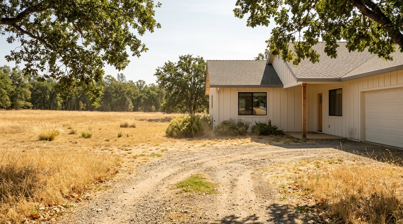
Roughly 4,275 households and small farms around Chico and Durham pump from wells sitting at 100 to 150 feet, the shallowest straws in the ground and the first to feel a falling water table. Durham's rural character means a large share of that number is out here, not in Chico proper, where California Water Service supplies most of the urban core through a municipal system rather than private wells.
That split matters for how you shop. A parcel inside Chico's city water service area carries a completely different risk profile than a ranchette on Midway Road or a parcel off County Road 99 pulling its own water. If a well on that kind of property runs dry, the replacement cost locally runs $40,000 to $50,000, broadly consistent with the $15,000 to $45,000 range California well drillers are quoting statewide in 2026. That's not a hypothetical line item. It's a real number that should factor into how you compare two otherwise similar Durham properties, one with a documented, tested well and one where the seller simply says "the well works fine."
It also means the old assumption, that a deeper well is automatically a safer well, isn't the whole story. A well can sit well above the legal Minimum Threshold and still be in a stretch of aquifer where the agency governing it has set that floor unusually low. Depth tells you where the water is today. The threshold tells you how far it's allowed to fall before anyone is required to respond.
Before You Write An Offer
If you're seriously considering a Durham property with a private well, a few questions are worth asking before you get attached to the price:
- Ask for the well completion report and driller's log. Butte County Environmental Health maintains these records, and they show depth, yield, and construction details for permitted wells in the area.
- Ask when the well was last tested for static water level and yield, not just water quality.
- Ask whether the parcel relies on a domestic well or connects to a public water system, since that changes which set of rules and risks actually apply.
- If the well was drilled after 2022, ask whether the county's Vina GSA consistency acknowledgment form is on file. That form, tied to a 2022 executive order, has the applicant acknowledge that a well permit doesn't guarantee any specific amount of water now or in the future.
- Check the county's dry well reporting system for the surrounding area. A cluster of prior reports nearby is worth understanding before you write an offer, not after.
None of this requires a hydrology degree. It requires knowing which documents to ask for and which questions actually get answered instead of deflected.
A Few Questions We Hear Often
Does this apply if the home is on city water in Chico? Less directly. Most of urban Chico is served by California Water Service rather than private wells, so the day-to-day risk is different. The broader groundwater fee structure and long-term recharge planning still touch the area, but a domestic well owner in rural Durham is exposed in a way a Cal Water customer generally isn't.
Is this a Durham-only issue? No. The Vina Subbasin covers roughly 184,000 acres including both the Chico and Durham areas. Durham simply has a higher share of households relying on private domestic wells rather than a municipal system, which is why the threshold question lands harder here.
When will the current threshold actually change? The Vina GSA's first mandatory Periodic Evaluation is due to the Department of Water Resources in January 2027. Public comment on that process is open now, which means 2026 is the window where this number is genuinely still being shaped.
Where can I look up a specific parcel's well history myself? Butte County Environmental Health's well records page includes a Well Completion Report Map Application and a Quarterly Well Permit Summary Report, both public.
A groundwater threshold isn't the kind of thing that shows up in a listing photo or a square footage count. It's exactly the kind of detail that separates a good decision on Durham acreage from an expensive surprise five years in. If you're weighing a property out here and want help pulling the actual well records, reading the fine print on a domestic well acknowledgment form, or just understanding what you're looking at before you make an offer, Connect Real Estate Group knows this ground. Let's Chat.